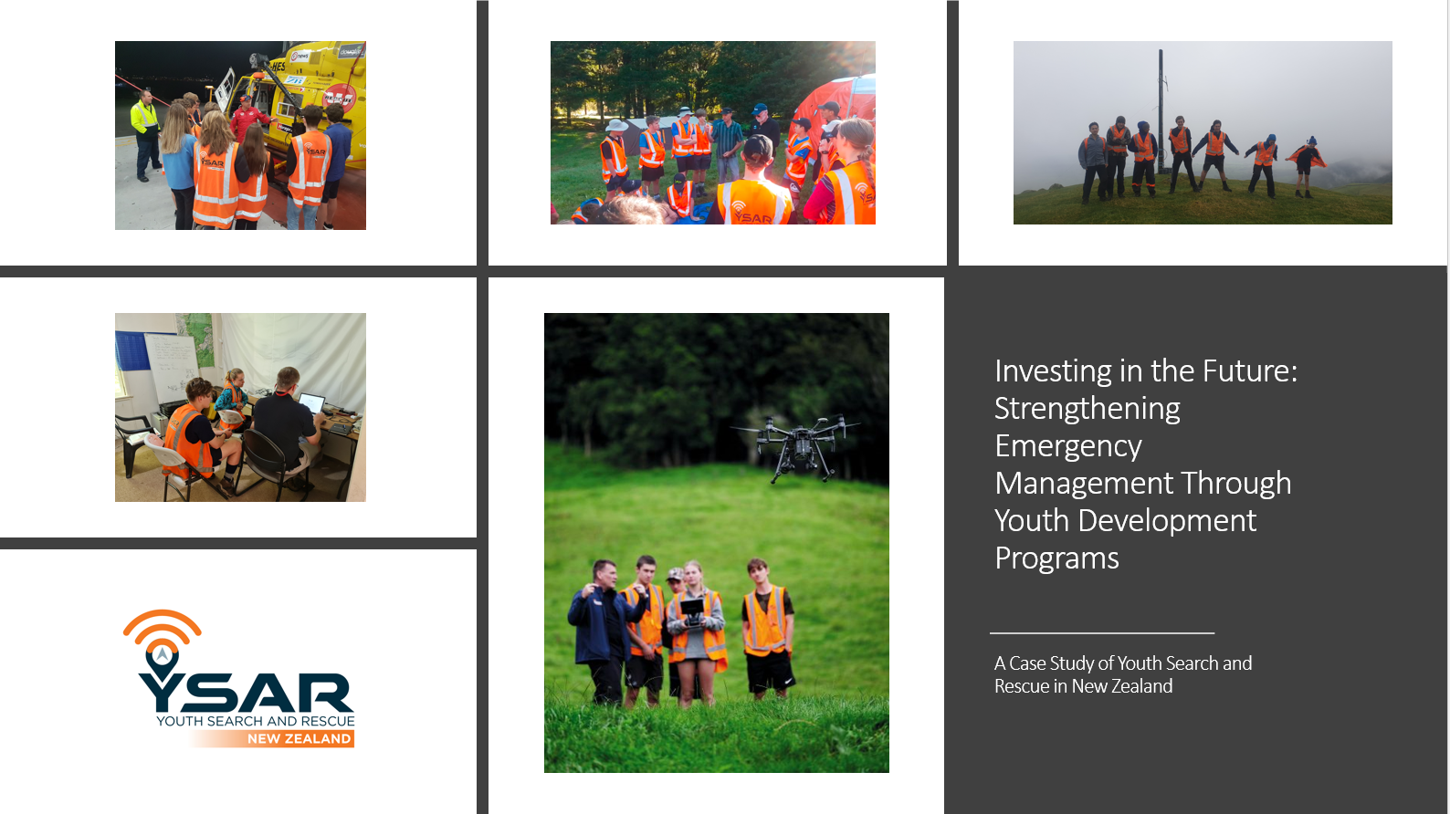
Investing in the Future: Strengthening Emergency Management Through Youth Development Programs

This research paper is driven by a primary objective: to emphasize the critical importance of investing in long-term youth development programs designed explicitly for the field of emergency management. These programs serve as a potent mechanism for nurturing a future workforce that possesses the essential skills, knowledge, and mindset required to excel in this dynamic profession. To illustrate the potential of such programs, this study employs the Youth Search and Rescue (YSAR) program in New Zealand as a comprehensive case study. It not only showcases the remarkable accomplishments of YSAR but also offers a detailed analysis of its influence on the youth participants and the broader emergency management sector. Through a meticulous examination of the contributions of youth, the significance of diversity, the enduring dedication of lifelong volunteers, the positive aspects of youth culture, and the effectiveness of participatory learning environments, this paper aims to underscore the imperative of adopting and expanding similar initiatives worldwide. By doing so, we can bolster readiness and resilience in the face of increasingly intricate and unpredictable threats.
YSAR Geographical Information Systems – GIS for Schools Program

The YSAR GIS for Schools Program offers students access to valuable GIS (Geographic Information Systems) resources. The program is provided through Eagle Technology Group and includes an ArcGIS Pro Advance license worth $6500 NZD per student per year. Students can access it at https://ysarnewzealand.maps.arcgis.com/. The ESRI GIS for Schools program offers additional benefits, such as cutting-edge technology, hands-on learning opportunities, educational resources, and collaborative opportunities.
One standout feature of the ArcGIS Pro Advance license is the ability to create captivating Story Maps, which help students convey information visually and interactively. Story Maps enhance projects, encourage real-world applications, and prepare students for future career opportunities.
Overall, the ESRI GIS for Schools program equips YSAR students with the tools and knowledge needed to excel in GIS and spatial analysis. Interested students can find more information at https://www.esri.com/training/catalog/search/.