YSAR Geographical Information Systems – GIS for Schools Program

The YSAR GIS for Schools Program offers students access to valuable GIS (Geographic Information Systems) resources. The program is provided through Eagle Technology Group and includes an ArcGIS Pro Advance license worth $6500 NZD per student per year. Students can access it at https://ysarnewzealand.maps.arcgis.com/. The ESRI GIS for Schools program offers additional benefits, such as cutting-edge technology, hands-on learning opportunities, educational resources, and collaborative opportunities.
One standout feature of the ArcGIS Pro Advance license is the ability to create captivating Story Maps, which help students convey information visually and interactively. Story Maps enhance projects, encourage real-world applications, and prepare students for future career opportunities.
Overall, the ESRI GIS for Schools program equips YSAR students with the tools and knowledge needed to excel in GIS and spatial analysis. Interested students can find more information at https://www.esri.com/training/catalog/search/.
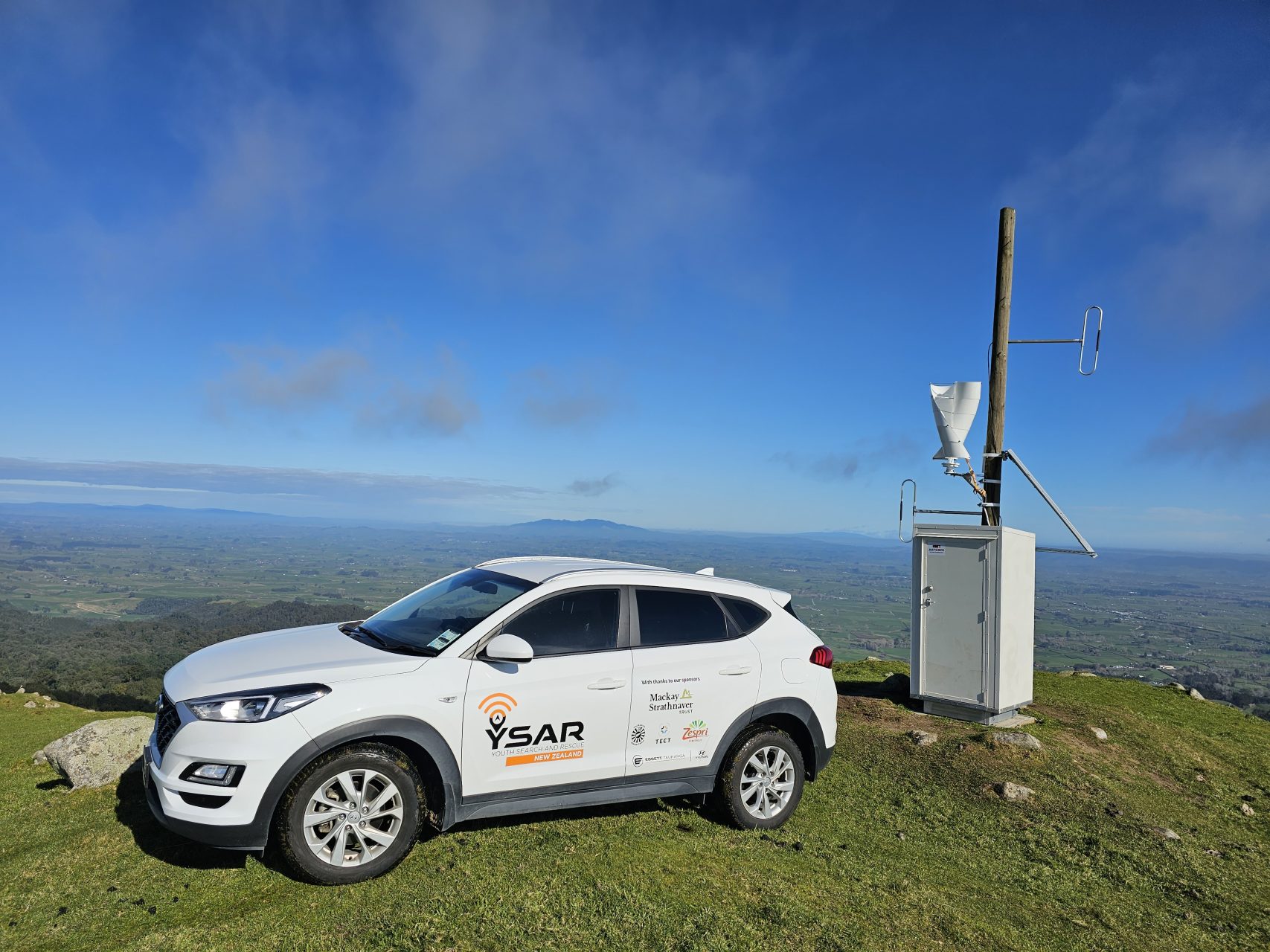
Enhancing Safety: VHF Radio Repeater Installation Revolutionizes Emergency Response in the Kaimai Mamaku Area

Community Project Installs VHF Radio Repeater Waikato and Bay of Plenty, 18th August 2023 In an inspiring display of community collaboration and dedication, Youth Search and Rescue (YSAR) has successfully […]
