
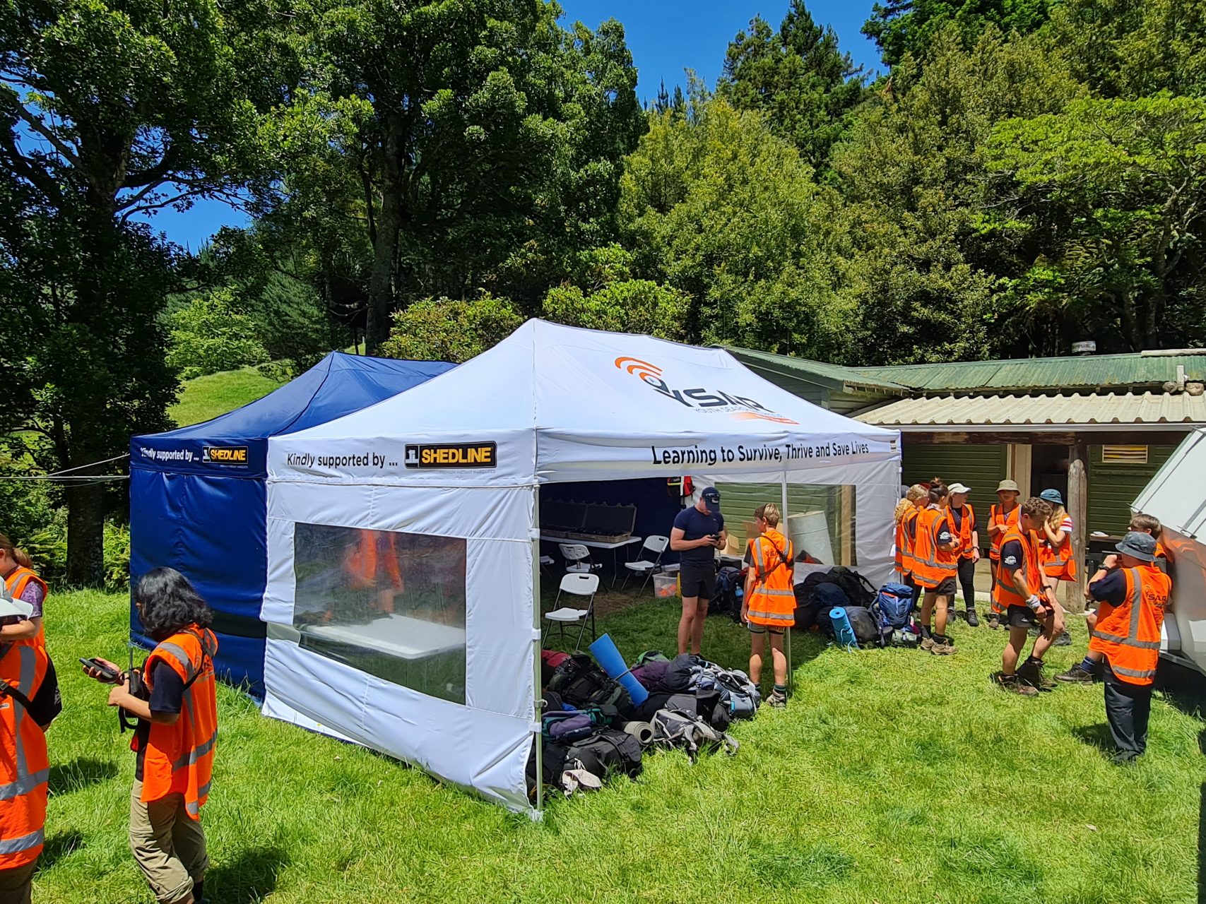
Empowering the Future: YSAR’s Commitment to Youth Leadership and Lifelong Service
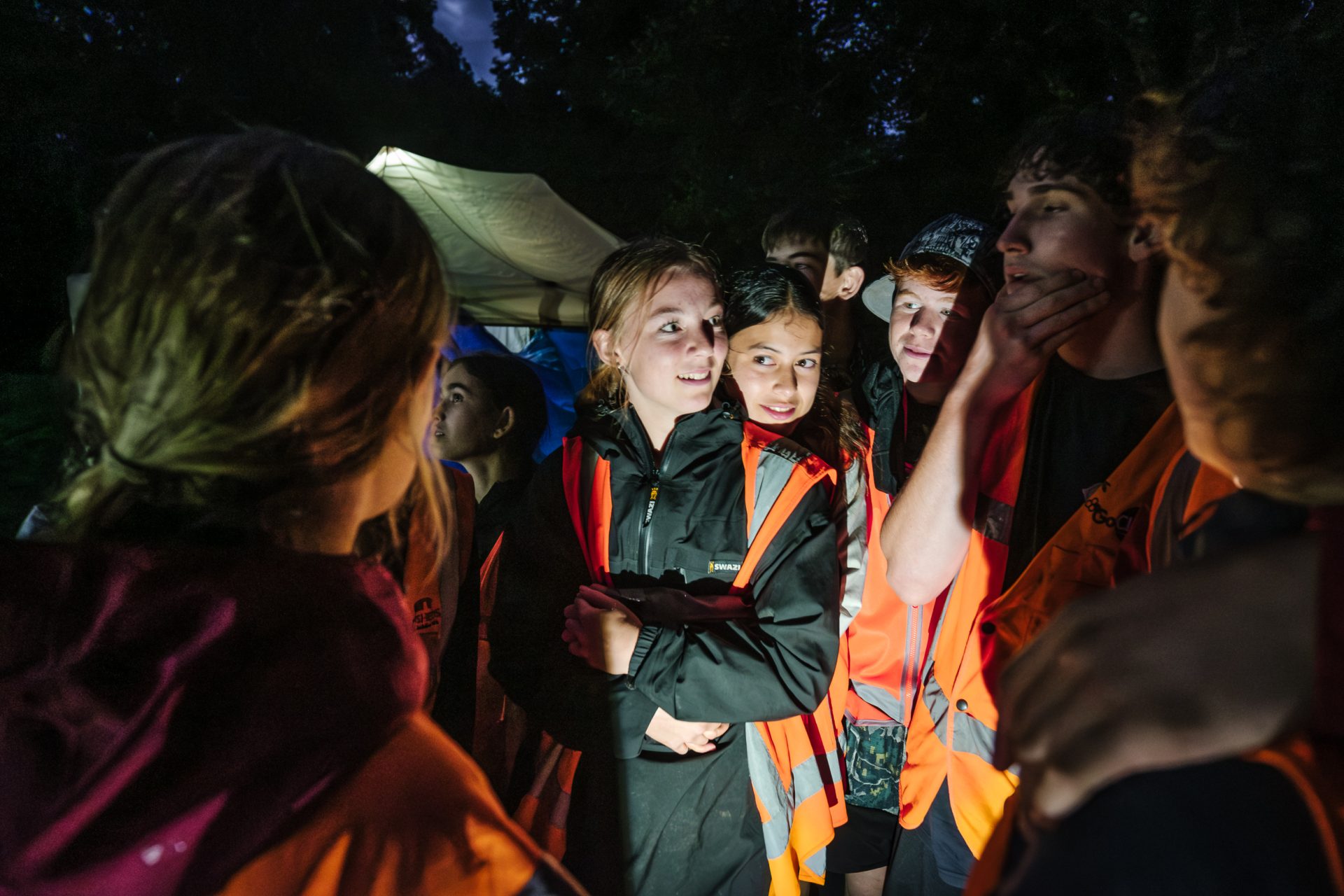
At YSAR, we believe in empowering young people to take control of their future and tackle the challenges of a complex world. Today’s youth face unprecedented pressures—rapid technological change, environmental issues, and the impact of social media—but we aim to turn a sense of hopelessness into opportunity. Through our programme, young people transition from adolescence to adulthood, gaining the skills, confidence, and leadership abilities needed to thrive.
Our graduates go on to become well-rounded individuals, making valuable contributions across sectors, from search and rescue to private industry. At YSAR, we share the values of organisations like the Duke of Edinburgh’s Hillary Award and Outward Bound, understanding the lasting impact of empowering youth through challenge and service.
If you believe in the potential of youth and want to partner with us to shape the future, contact YSAR today. Together, we can make a difference.
Learn more or get involved
Building the Future of Emergency Response Together
At YSAR Trust, we’re not just training the next generation of emergency responders—we’re shaping the future of the SAR and EM sectors by fostering lifelong volunteerism, creating career pathways, and […]
YSAR Geographical Information Systems – GIS for Schools Program
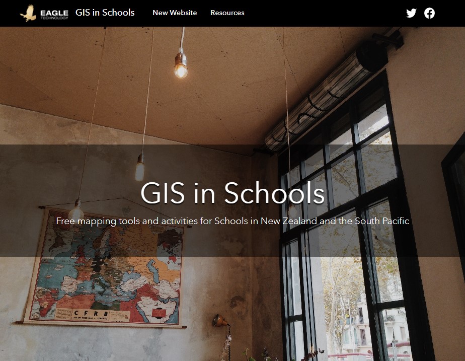
The YSAR GIS for Schools Program offers students access to valuable GIS (Geographic Information Systems) resources. The program is provided through Eagle Technology Group and includes an ArcGIS Pro Advance license worth $6500 NZD per student per year. Students can access it at https://ysarnewzealand.maps.arcgis.com/. The ESRI GIS for Schools program offers additional benefits, such as cutting-edge technology, hands-on learning opportunities, educational resources, and collaborative opportunities.
One standout feature of the ArcGIS Pro Advance license is the ability to create captivating Story Maps, which help students convey information visually and interactively. Story Maps enhance projects, encourage real-world applications, and prepare students for future career opportunities.
Overall, the ESRI GIS for Schools program equips YSAR students with the tools and knowledge needed to excel in GIS and spatial analysis. Interested students can find more information at https://www.esri.com/training/catalog/search/.
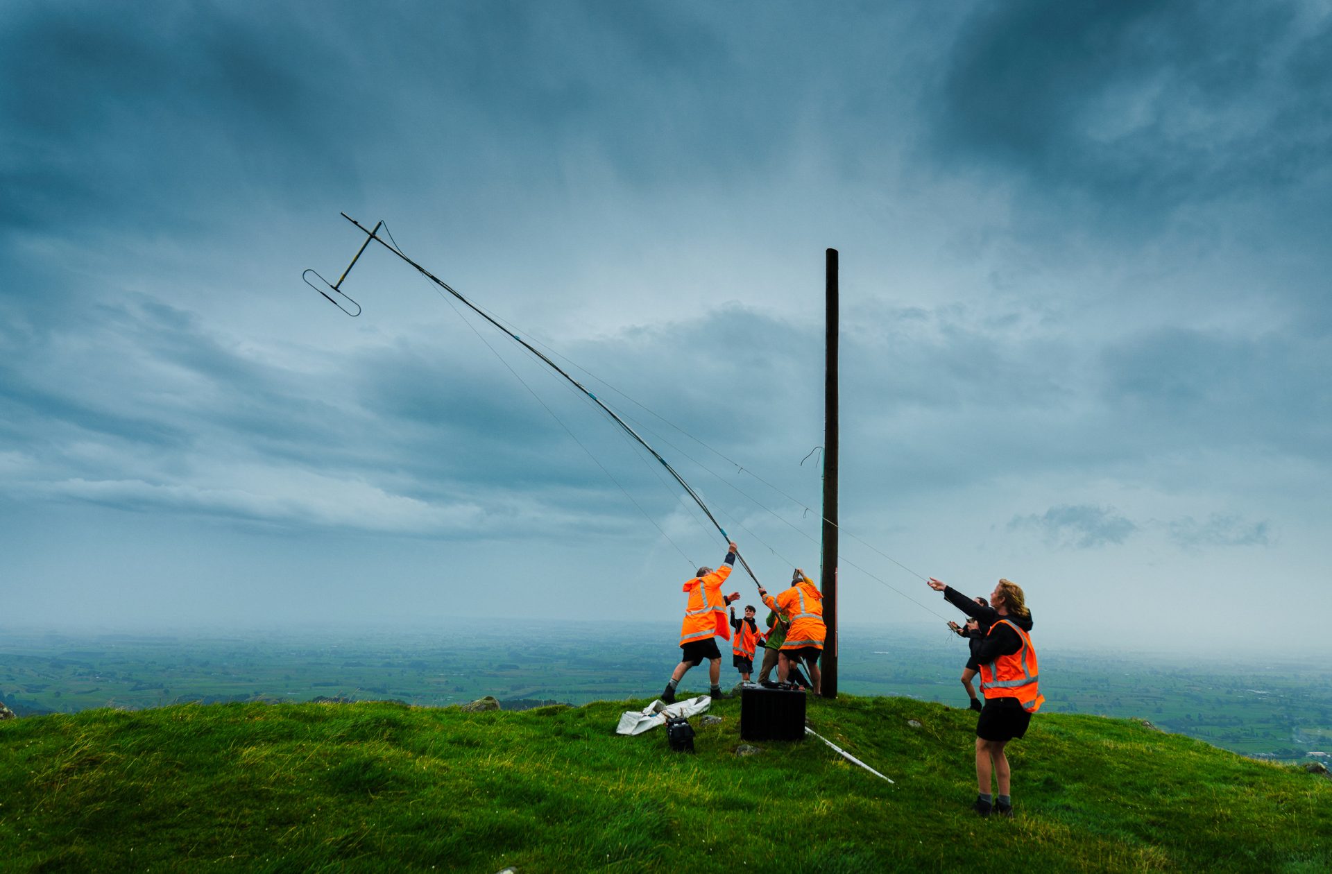
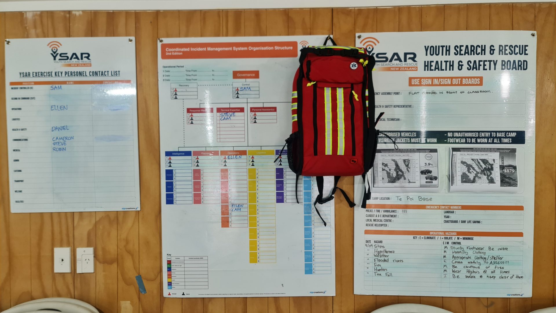
Enhancing Safety: VHF Radio Repeater Installation Revolutionizes Emergency Response in the Kaimai Mamaku Area
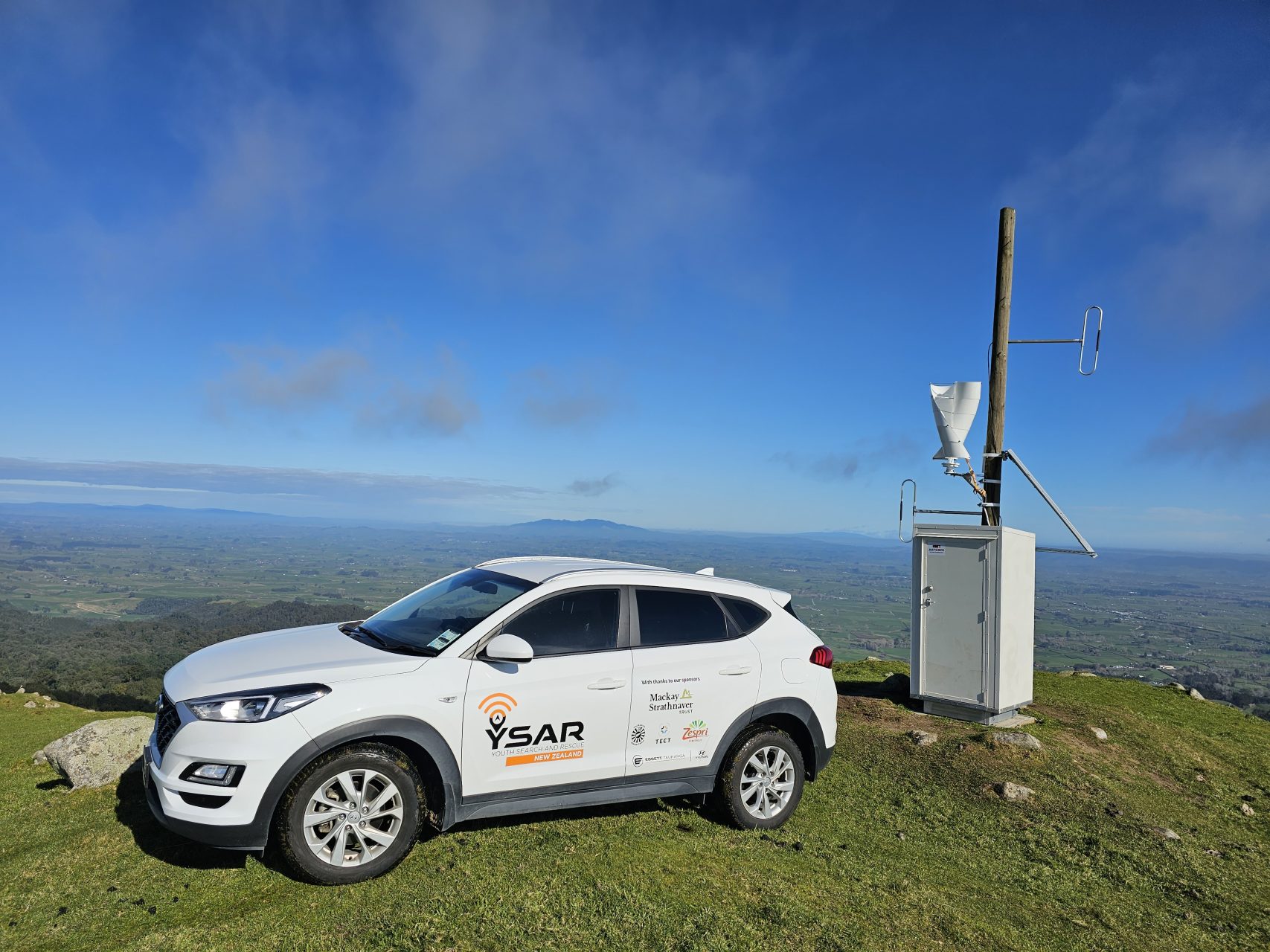
Community Project Installs VHF Radio Repeater Waikato and Bay of Plenty, 18th August 2023 In an inspiring display of community collaboration and dedication, Youth Search and Rescue (YSAR) has successfully […]
Enhanced Imaging Technologies: FLIR, Night Vision, LiDAR, and Synthetic Aperture Radar in Emergency Response
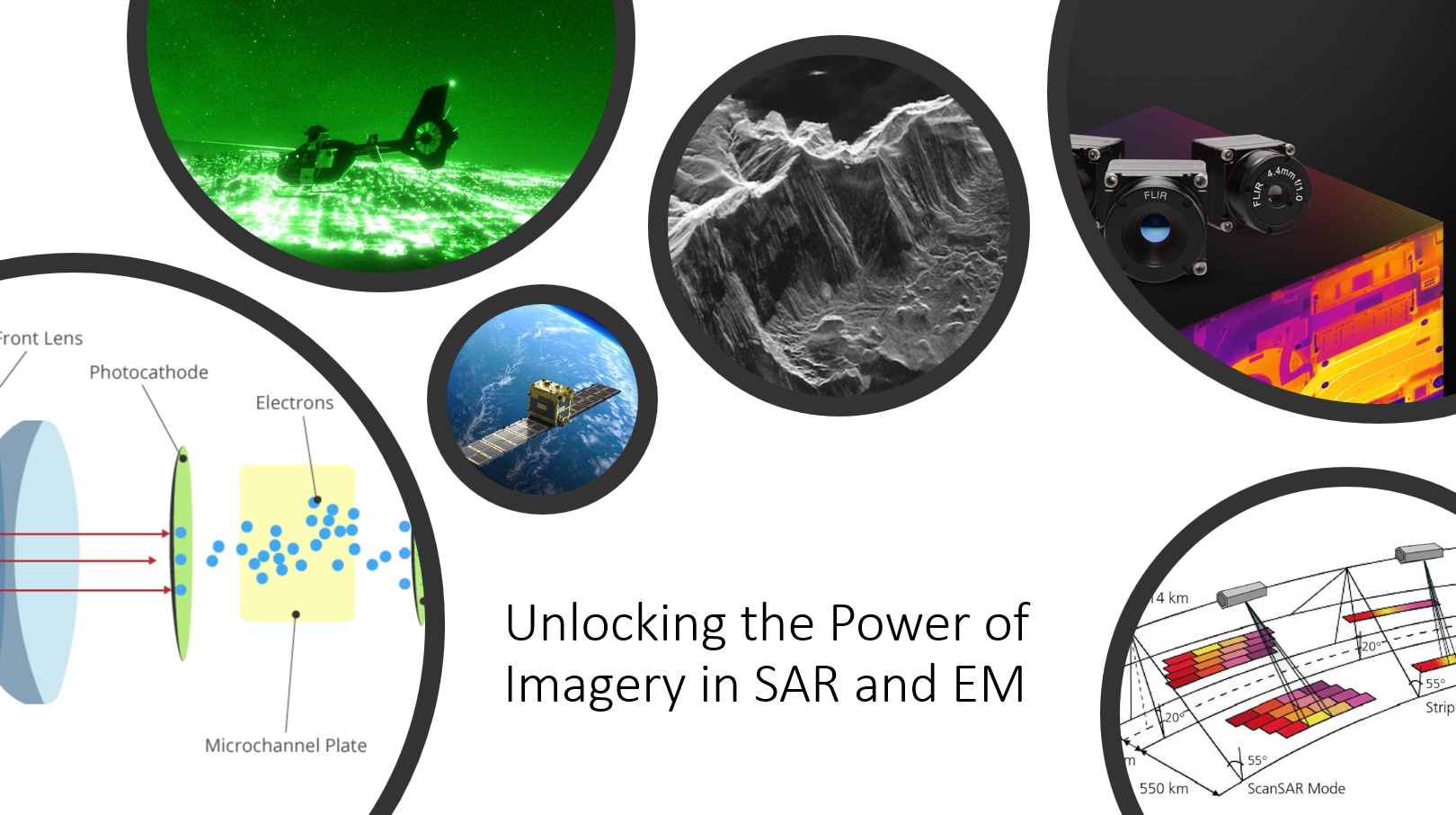
Foreword In the realm of search and rescue and emergency response operations, the utilization of advanced imagery technologies has become increasingly crucial for enhancing operational effectiveness and efficiency. In this […]
Harnessing Generative AI and LLM for SAR and Emergency Management
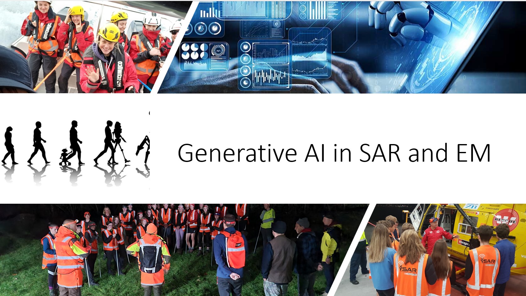
In recent years, the advancement of generative AI and Large Language Models (LLM) has opened up new possibilities for supporting Search and Rescue (SAR) and Emergency Management (EM) operations. The integration of AI technologies has the potential to enhance the existing capabilities of SAR and EM agencies, leading to improved resilience, readiness, response, and recovery efforts..
YSAR Trust is Proud of their Partnership with KT Services for GPS, PLBs, Radio Communications, Stretchers and First Aid Equipment
YSAR Trust, a non-profit charity organization committed to training the next generation of Search and Rescue and Emergency Management responders, has partnered with KT Services for the supply of essential […]
YSAR Trust receives generous support from Navico Group for Youth Search and Rescue Training Centre
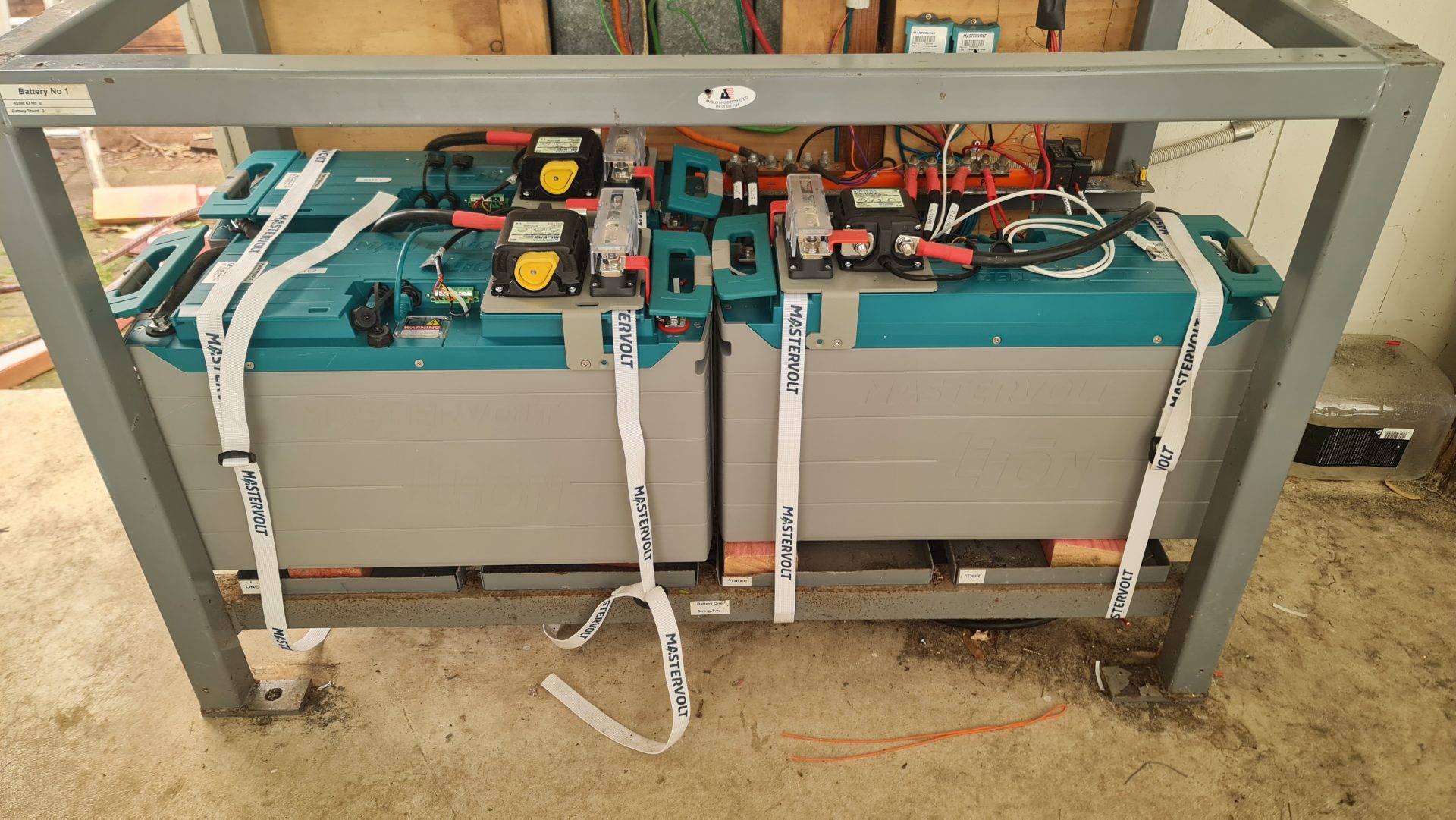
YSAR Trust is thrilled to announce the recent partnership with Navico Group, a leading provider of marine electronics, to upgrade their battery system at the Youth Search and Rescue Training […]
Leading the Future: The Competitive Edge of a Youth Innovation Team
In today’s fast-moving business world, companies are always looking for ways to stay ahead of the game and keep their organizations up-to-date. One way they can do this is by […]
Institutional Knowledge Transfer From One Generation to the Next
YSAR core objective is to train young people to become active community volunteers in the Search and Rescue and Civil Defence Emergency Management sectors. Our key focus in YSAR is the […]
